HCSM Conference 2018 in Cottbus
- Home
- HCSM Conference 2018 in Cottbus

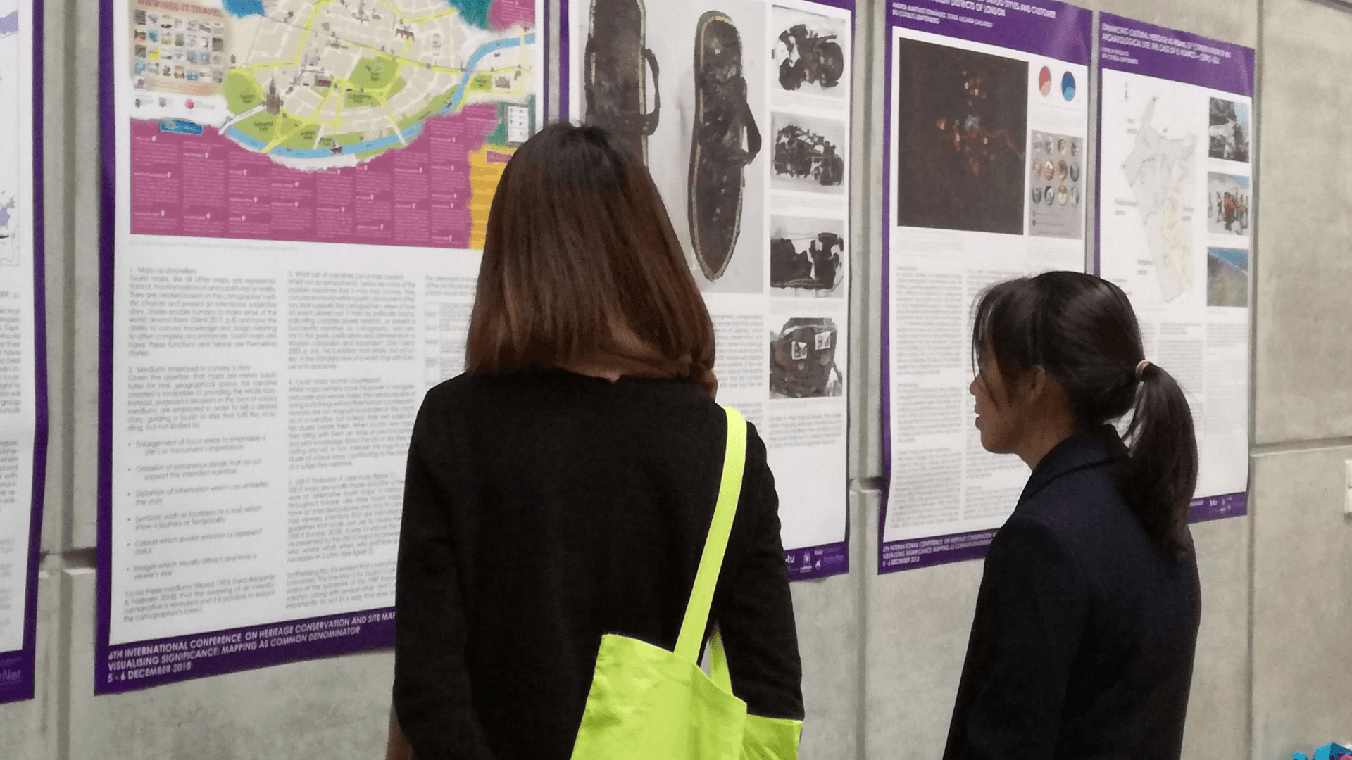
The conference “Heritage Conservation and Site Management” (HCSM) took place in Berlin and Cottbus on 5-6 December 2018. BTU Cottbus-Senftenberg held the conference in cooperation with ArcHerNet, Helwan University and the German Archaeological Institute on the topic “Visualising significance: Mapping as common denominator”.
For the 6th International Conference on Heritage Conservation and Site Management experts met in Berlin and Cottbus to discuss “Visualising significance: Mapping as common denominator”. The annual conference is part of the German Egyptian cooperation, which implemented the Joint Master in Heritage Conservation and Site Management (HCSM). The program was initiated with the support of the German Archaeological Institute and the Egyptian Ministry of Antiquities and the German Federal Foreign office. Since 2016 the DAAD has provided fellowships for Syrian refugees as part of the “Stunde Null – A Future for the Time after the Crisis” project. The programme aims to provide methods and the knowledge necessary for the management and protection of heritage sites.
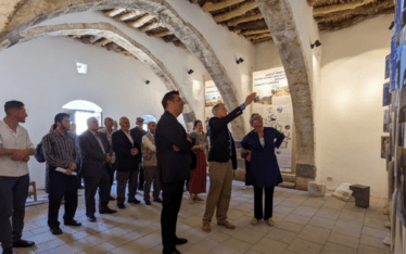
HCSM 2018 was opened on December 5 at the Visitor Center of the Berlin Wall Foundation on Berlin by Prof. Dr. Axel Klausmeier, Prof. Dr. Maged Negm, president of Helwan University and Prof. Dr. Leo Schmidt, head of the HCSM study programme at BTU Cottbus-Senftenberg.


In her welcoming words Prof. Dr. Friederike Fless, president of the German Archaeological Institute, stated: “All maps and their inherent self-image effect how we rate and manage cultural heritage (…). In order to find our way through a complicated and entangled world, we need young and highly qualified graduates of international study programmes, such as those of the Joint Master of BTU and Helwan University.”
The second day of the conference was opened by Dr. Alexandra Skedzuhn-Safir at BTU Cottbus-Senftenberg. In five sessions, international experts discussed: aims, approaches, object mapping, scale as well as maps and art (Programme).
In the first session Dr. Felicia Meynersen, project coordinator of the ArcHerNet-project “Stunde Null” presented “Geospacial technologies for heritage management: Mapping as empowerment“ referring to the work of Dr. Benjamin Ducke (DAI). As part of “Stunde Null” the DAI conducts a programme of training and knowledge transfer to help build technological capacities in the heritage sector.
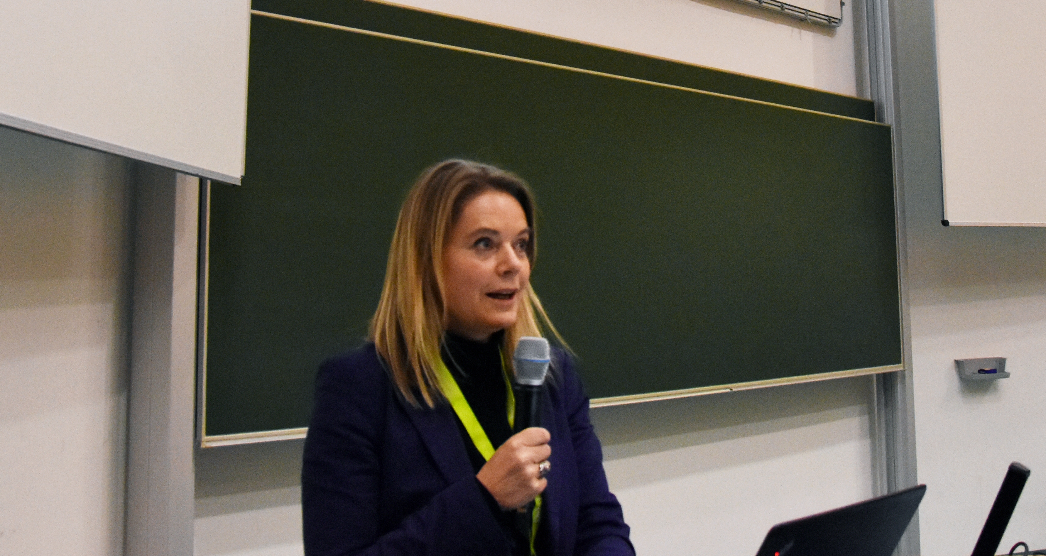
Dr. Felicia Meynersen, project coordinator of „Stunde Null“ at HCSM 2018 | © Götting, ArcHerNet.
GIS plays an essential role within this approach. Since access to accurate maps and surveying equipment remains limited in many parts of the world, it is hard for civil stakeholders to benefit from geospatial technology. Capacity building measures therefore are crucial to enable civil stakeholders to evolve “from map consumers to map producers”, Dr. Felicia Meynersen said.
In an extensive programme among others speakers Dr. Constanze Röhl of BTU Cottbus-Senftenberg held a lecture on “’Suburbia’ revisited: Approaches from contemporary urban geography applied to past agglomerations”. Prof. Dr. Jurek Elzanowsk of Carleton University presented a joint project on the mapping of World War II destruction in Germany and Poland. The comparative study of damage cartography and damage assessment aims to shed light on complex historical processes and the intersection of urban clearance, social zoning and heritage planning.


Dr. Riham Arram of the Cairo governor’s office introduced a program on “Participatory mapping for Historic Cairo: A World heritage Site documentation approach”. In her presentation she surveyed approaches initiated in districts of Historic Cairo and the role of participatory mapping in raising awareness among marginalised classes within the cultural property. In the final session on ‘Maps and Art’ Hans Hack spoke about his experiences of map making and creative ways to use maps in heritage contexts. All presented papers will be available in an upcoming publication.
In the hall ten students and alumni of BTU Cottbus-Senftenberg, Helwan University and the New University of Lisbon presented their posters. Among other projects, it was illustrated how conservation mapping improves the condition of the sandals of Tutankhamun, how tattoo styles can be tracked in London and how tourist maps from Timisoara can serve as storytelling tools. The role of 2D and 3D digital mapping in restoring Syria’s lost heritage sites was presented by a student of Helwan University.


The conference sparked lively discussions and was concluded with a reception in the evening. The next HCSM conference will be held in Sharm el Sheikh, Egypt, in 2019.
https://www.archernet.org/2017/03/18/joint-master-heritage-conservation-and-site-management/
Die Arbeit des Archaeological Heritage Network wird von vielen Partnern national und international getragen und vom Auswärtigen Amt und der Gerda Henkel-Stiftung gefördert.
