MOOC | QField for archaeological documentation
- Home
- MOOC | QField for archaeological documentation
Enrol in the Massive Open Online Course (MOOC) of i.DAI.tutorials and learn about “QField for archaeological documentation” in your own time and free of charge in English or Arabic.
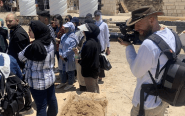
In recent years the usability of GIS software has increased. More and more features and analysis tools make it possible for the users to process their data and create maps to display the results of their research with integrated mapmaking tools. One of the most prominent GIS tools is QGIS. Not just because it is freeware, but also because it has huge variety of processing tools. Because of it open-source code everyone can help to improve the experience. With smartphones getting more powerful hardware it seemed just a matter of time until a mobile QGIS app was introduced. The Swiss team OPENGIS.ch developed the app Qfield to fill in this gap and created a reliable survey instrument.
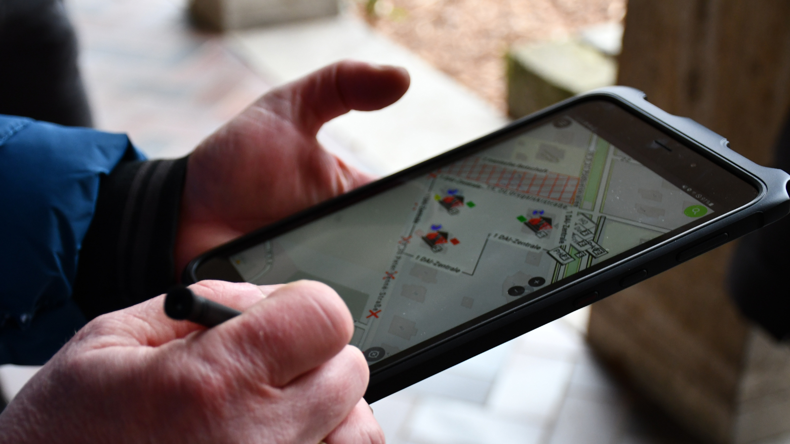
Qfield does not try to integrate all the features contained in QGIS to the app, but rather keeps it basic in order to make it easier for the user working in field. QGIS projects are created on the computer and are then transferred to the smart device. Qfield reads vector as well as georeferenced raster files and supports the GPKG format, which becomes handy when big raster files are used. Vector files transferred to the app can be used to vectorize features found on side, either by locking onto the current GPS position or freely by clicking on the screen. The app uses the smart devices internal GPS for supporting the user with information about the current position.
This Tutorial will help you to create a Qfield project in QGIS and transfer it to your mobile android device using shapfiles as well as downloaded satellite imagery as a basis for your own survey project.
To participate create an account on the iDAI.tutorials Website. The courses are designed as autodidactic learning experiences and provide texts and videos. You can track your progress and start the course whenever and wherever you want. The website offers several other courses for cultural heritage experts and young professionals.
The platform iDAI.tutorials of the German Archaeological Institute (DAI) offers online courses and resources for Cultural Heritage professionals. All courses are free of charge and available in English and Arabic. The courses aim at empowering individuals working in the field of archaeology, cultural heritage and museum management. In addition, the platform offers the first Arabic translations of international standards and guidelines on digitisation (such as OAIS, Dublin Core, etc).
Courses and resources are being continuously developed and added by the various initiatives of the project “KulturGutRetter” with the support of the Archaeological Heritage Network.
The platform was initially developed in the framework of the Funds-in-Trust agreement “Capacity Building, Technical and Media Support” between UNESCO and the German Archaeological Institute.
Read More: