AYDA – Ancient Yemen Digital Atlas
- Home
- AYDA – Ancient Yemen Digital Atlas
A digital information system, the Ancient Yemen Digital Atlas (AYDA), contributes to the protection and preservation of Yemen’s cultural heritage.
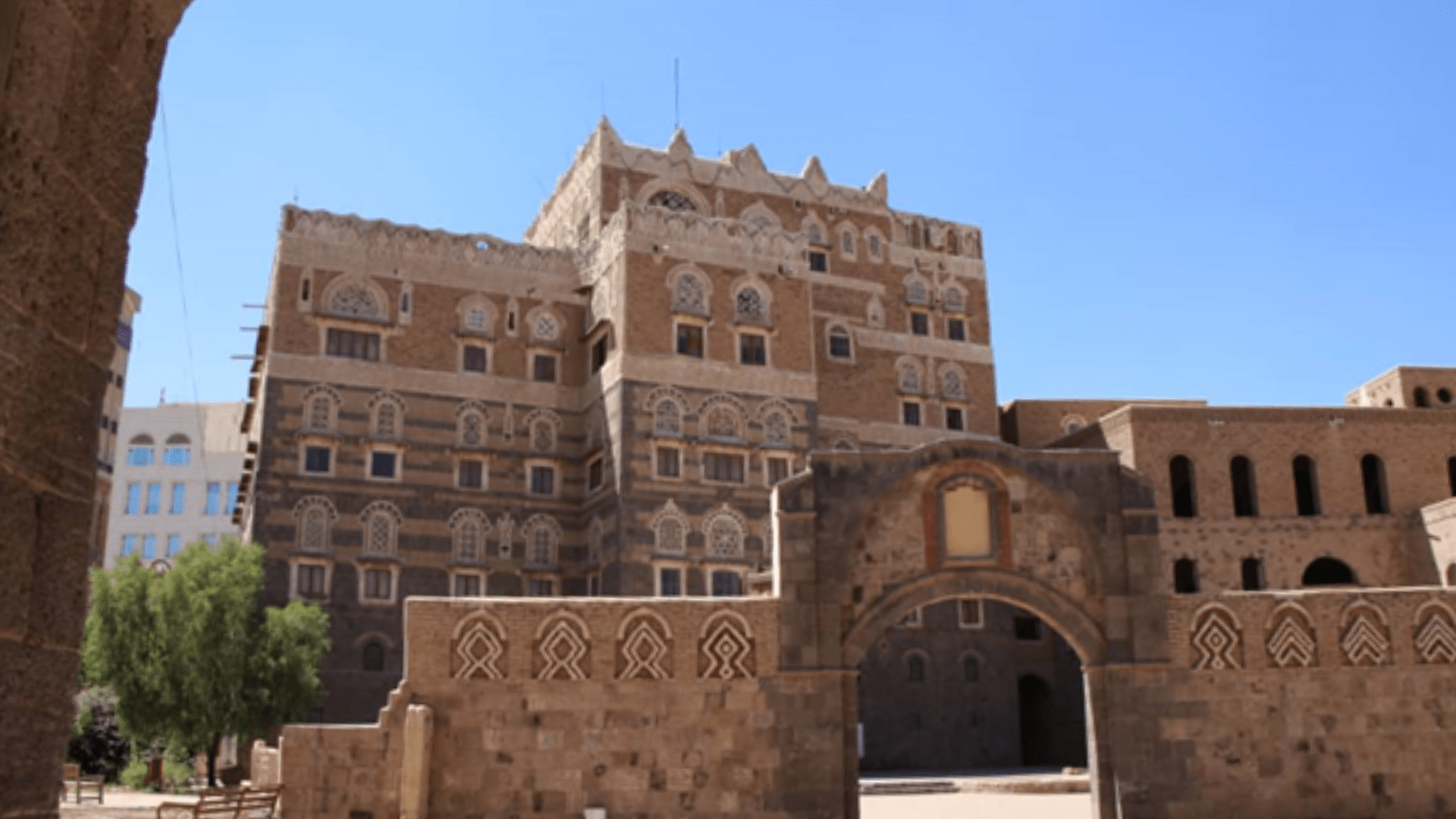
Yemen’s cultural heritage is gravely at risk from ongoing military conflict and the accompanying destruction and looting of museums and illegal digging. In addition unauthorized construction and the theft of ancient building stone are causing massive damage.
The Ancient Yemen Digital Atlas (AYDA) documents the ensemble of monuments and archaeological sites across the country and is a tool for archiving various archaeological research data in a web-based monument information system in English and Arabic. The data are accessible in a geographic information system (GIS) and can be retrieved using georeferenced maps. Every findspot and monument is provided with relevant historical, archaeological and conservation data (e.g. building plans, drawings, photos, object descriptions, etc.) via links to various databases. These data are continuously gathered, expanded and managed by the staff of the German Archaeological Institute (DAI) and the Yemeni General Organization of Antiquities and Museums (GOAM). Dr. Iris Gerlach, director of the Sanaa branch of the DAI, has been coordinator of the project since 2017. The project is funded by the Cultural Preservation Programme of the Federal Foreign Office and since 2020 it has been attached to the ArcHerNet project Zero Hour – A Future for the Time after the Crisis.
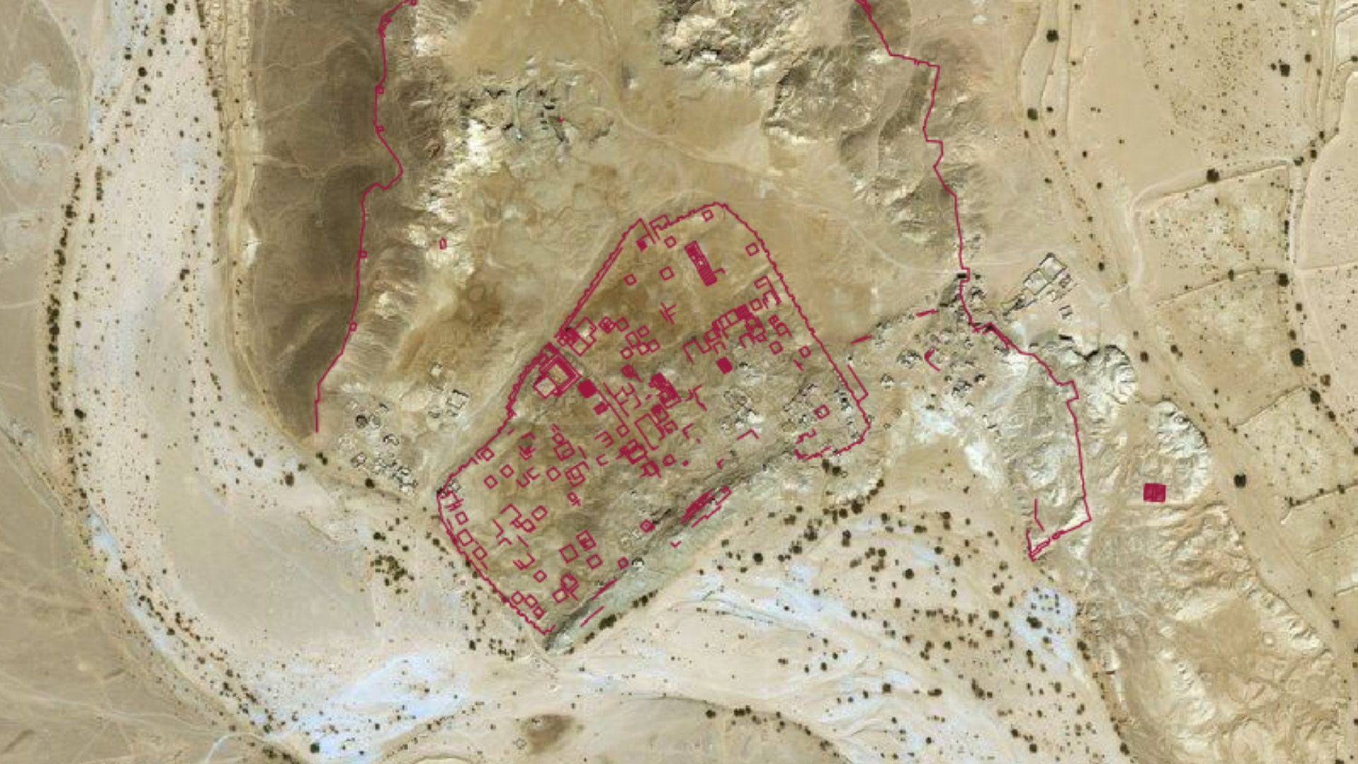
The main task of AYDA is monitoring Yemeni cultural heritage. Notably in times of crisis the digital atlas makes it possible to observe archaeological sites regularly and to document damage caused by armed conflict, vandalism, looting, infrastructure development as well as natural disasters. As the GOAM has not compiled a systematic inventory of Yemen’s archaeological sites, the atlas will take over the function of a monuments register. The 12,000 findspots recorded so far have been identified and documented not only by the analysis of aerial photographs and satellite images but also by precise digital mapping of locally verified monuments.
Additionally AYDA will be available for a range of academic and research objectives. The atlas has been conceived for the Yemeni General Organization of Antiquities and Museums, but in the medium term it is to be made available to the international research community by means of access authorizations.
Coordination:
Dr. Iris Gerlach, Deutsches Archäologisches Institut, Sanaa Department
Team:
Holger Hitgen, Josephine Schoeneberg, Hanna Hamel, Heiko Werwick
Partner:
General Organization of Antiquities and Museums (GOAM)
Christian Weiß (University Nürnberg/Erlangen)
Prof. Dr. Norbert Nebes (Friedrich-Schiller-University Jena)
Supported by:
Zero Hour – A Future for the time after the Crisis
Cultural Preservation Programme of the Federal Foreign Office
Satellite image of Shabwa, old capital of Hadramaut |© Außenstelle Sanaa, DAI.
Read More: